Tooling & Productivity
Plotform
30 January 2026
Singapore's infrastructure planning—synchronized, visualized, accelerated.

Land Allocation in Government Today
Singapore's land has always been scarce, but today government officers must simultaneously manage power and utilities constraints.
Say a company wants to set up a factory in Singapore. JTC has a perfect plot available. EDB is ready to close the deal. But then the question: Do we have enough electricity to power it? The answer should be simple. It isn't.
Why? Because power capacity is planned once a year in a big national planning exercise but the data quickly becomes stale. When companies want to invest, they face weeks of delays in replies because JTC, EMA, and EDB officers are working in information silos, manually exchanging spreadsheets and conducting multiple feasibility studies to piece together what capacity is promised, available, or depleted.
Why this matters? Investment decisions drag on for months. Companies go elsewhere for faster answers. Singapore turns away billions in economic value. And when we get it wrong? We overbuild infrastructure—costs that hits every citizen through higher electricity bills.
Solution
This is why we built Plotform.
Plotform gives Singapore's government real-time visibility into land and power availability—enabling faster, confident decisions on where to invest and what to build.
Key Goals
Enable Data-Driven Decision Making --Government agencies make land and power allocation decisions based on real-time capacity data, not assumptions or guesses.
Reduce Decision Timelines -- Cut allocation timelines from 12-24 months to 6-9 months by eliminating manual feasibility studies and coordination delays.
Enable Strategic Infrastructure Planning -- Give MTI the demand forecasts needed to make proactive infrastructure investment decisions for the next planning cycle.
Eliminate Cross-Agency Coordination Friction -- Break information silos so agencies align behind shared data, not fragmented spreadsheets and emails.
Build Investor Confidence -- Enable EDB and JTC to pre-screen land and power constraints early in the process, helping to set realistic expectations in company discussions.

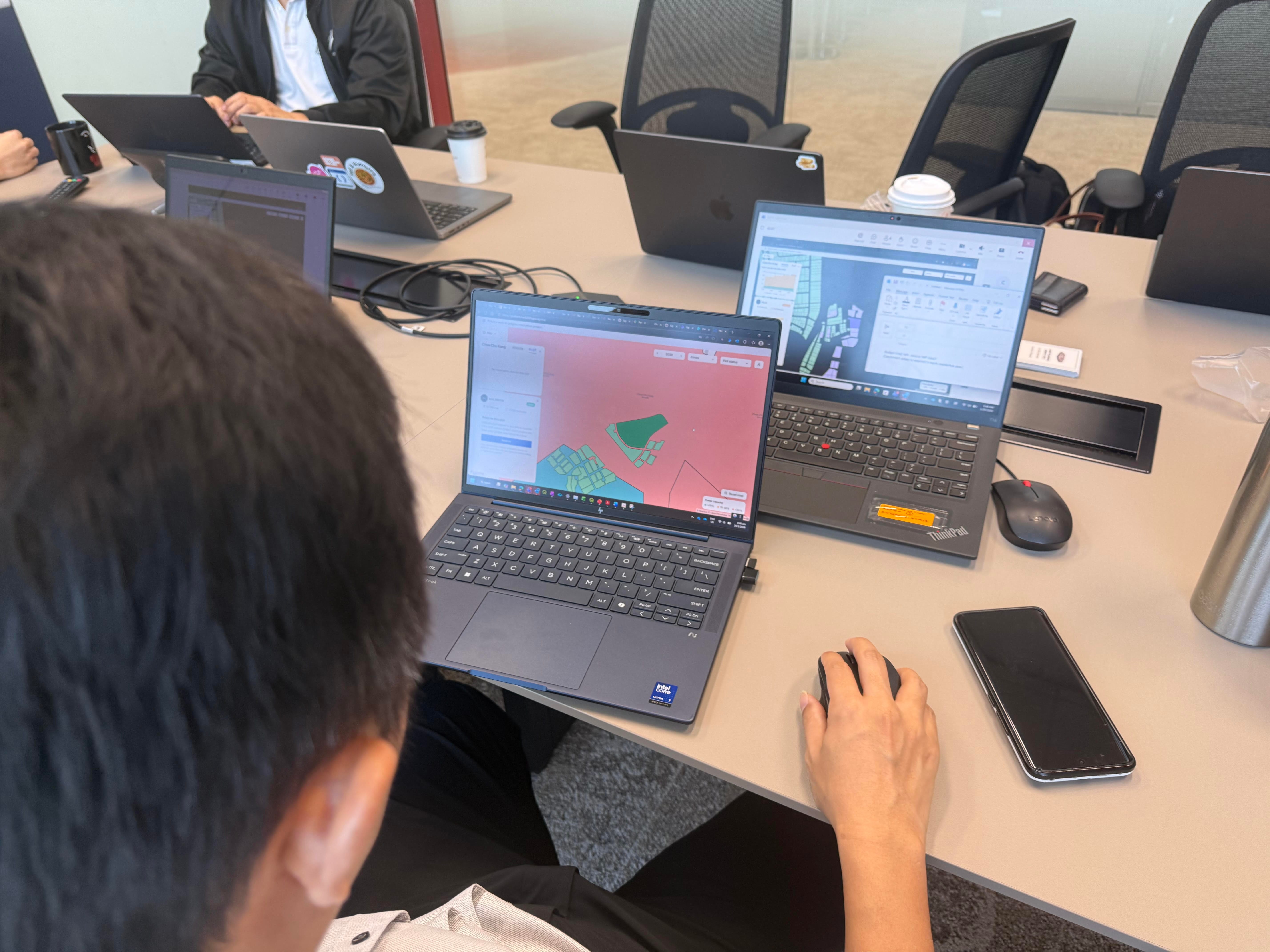
Use Case 1: Plot Booking Flow


Land planners reserve plots by selecting from an interactive map and entering project details (plot ID, requester, agency, project name, power requirement by booking year). Subsequently, requests are assigned status (Requested/Confirmed/Cancelled) with color-coded indicators visible across all five agencies.
The centralized reservation list features a searchable repository where users can instantly find existing cases by plot ID, region, requester, company, or year. Users see who's handling each plot, preventing duplicate efforts and enabling immediate deconfliction. Operational officers can also see personalized dashboards tracking their requests with 90-day stall alerts.
All information is accessible, editable, and consistent across agencies; ensuring no more email archaeology.
Use Case 2: Electrical Capacity Visualization Flow


Users access a map-based interface displaying current and future land/business allocation across Singapore in spatial and temporal dimensions. Upon request creation, temporal power graphs show three metrics per region-year: Total Regional Capacity (Projected Power), Confirmed allocations (Contracted Power), and Available Budget.
Color-coded threshold indicators alert when regions approach capacity constraints, updating in real-time as requests are created, confirmed, or cancelled.
Policy officers view regional capacity overviews with color-coded utilization indicators (green/yellow/red) and can drill down to specific projects, enabling clear-eyed prioritization discussions and helping companies recalibrate electricity spend before constraints become crises.
Research and Approach


Research Methods:
User Interviews: In the past 1 month, we have conducted 12 user interviews with agency partners from URA, EMA, JTC, EDB, MTI & SP; including multiple inter-agency workshops to deep dive into the problem.
Survey: We have also sent out a productivity baseline survey to understand how much time officers spend doing back and forth emails, endless meetings and feasibility studies for ad hoc land allocation.
Key Decisions
Ad hoc allocation over forecasting — Forecasting exercise has a 5 month cycle time and creates a mismatch between sales cycles (months) and infrastructure planning (years). Whereas Ad hoc land allocation is an easier problem to solve, where technology can enable process efficiencies.
Reduced case management scope — End-to-end case management was cut because agencies have unique workflows that couldn't be mapped during the hackathon timeframe. Rather, we doubled down on visualising power capacity.
No search function for pilot — Plot selection involves 20+ officers across regions and relies on tacit knowledge (safety hazards, industry requirements, proximity concerns) that exists only in planners' heads, not documented systems.
Prioritized data visualization — Sponsors MTI, EMA & URA want better ground-level visibility and a single source of truth to replace scattered emails and spreadsheets tracking resource usage.
What the users said
Overall, the prototype received positive feedback:
100% adoption intent among strategic users (all rated 4-5/5 for real-life usage)
Average 4.5/5 for time reduction in core workflow
75% gave maximum rating (5/5) for communication overhead reduction
Economic agencies are like a mozzie trying to bite. When they bite I will use it, in terms of how accurate the capacity counting is. Thus, we can know whether to expedite projects or initiate discussions at high level.— Sky Soon, EMA Engineer
All info is clear and easy to dig for me to send to other agencies.— Ren Ann, JTC Engineer
Don't have to ping people and ask for updates (e.g today I have qn, send it to others, take time to get back.) But now I can get access immediately.— En Qi, MTI Senior Assistant Director
What's Next
Future Vision:
We envision Plotform to be the unified coordination platform that gives Singapore's government a real-time view of critical resource availability (power, water, sewage)—enabling faster, smarter, and more confident decisions about where to invest, what to build, and how to grow.
Next Steps:
Our immediate focus is partnering with EMA, JTC, EDB, URA, and MTI to integrate Plotform into the revised NIP process. This aligns directly with EMA's proposed policy shift to capacity-as-a-service, where having real-time monitoring and coordination infrastructure is crucial to make this policy operationally viable.
Further Details on Next Steps
Phase 1: Policy Enablement
Plotform enables Singapore to compete on service excellence and business efficiency rather than cost—delivering premium value that justifies our pricing.
Phase 2: Tackling other use cases/ Utilities
Explore additional avenues that stakeholders have organically raised during discussions—features that would further strengthen Singapore's competitive positioning through superior coordination and responsiveness.
Table caption
Phase 1: Must-Haves for upcoming policy enablement | Phase 2: Other Use Cases/ Utilities | |
|---|---|---|
Key Features | - Actual power utilization data from SP for real-world capacity tracking | Shorter Term: - Brownfield projects |
Key Partnerships | SP, MTI, URA, EMA, JTC, EDB | PUB, NEA, ESG |
Meet the Team
